NRI Downtime for Site Upgrades
From Oct. 24-28, 2024 the National Risk Index (NRI) site will be down for upgrades. The site should be back up Mon., Oct. 28, 2024. National Risk Index GIS services will not be impacted.
Landslide
A Landslide is the movement of a mass of rock, debris, or earth down a slope.
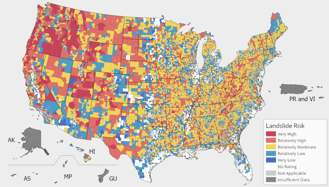
In the National Risk Index, a Landslide Risk Index score and rating represent a community's relative risk for Landslides when compared to the rest of the United States. A Landslide Expected Annual Loss score and rating represent a community's relative level of expected building and population loss each year due to Landslides when compared to the rest of the United States.

Landslide Exposure
A Landslide exposure value represents a community's building value (in dollars) and population (in both people and population equivalence) exposed to Landslides.
Landslide Annualized Frequency
A Landslide annualized frequency value represents the average number of recorded Landslide hazard occurrences (events) per year over the period of record (11.8 years).
Source Data
U.S. Geological Survey's Landslide Hazards Program's Landslide Hazard Map
National Aeronautics and Space Administration's Cooperative Open Online Landslide Repository
U.S. Geological Survey's Landslide Hazard Program's Map for Hawaii
U.S. Geological Survey's Landslide Hazard Program's Map for Puerto Rico
Landslide Historic Loss Ratio
A Landslide historic loss ratio is the representative percentage of the exposed consequence type value (building or population) expected to be lost due to a Landslide hazard occurrence.
Landslide Processing Methodology
For comprehensive details about the Landslide processing methodology, see the National Risk Index Technical Documentation.


No comments:
Post a Comment