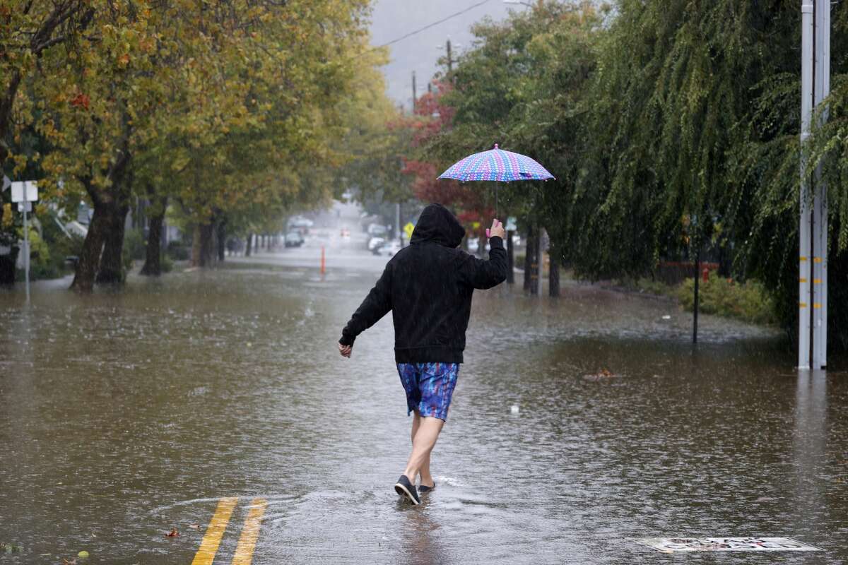
Another atmospheric river enters San Francisco Bay Area forecast. This one is expected to be weak.

A pedestrian carries an umbrella as he walks on a flooded street on October 24, 2021 in San Rafael.
Justin Sullivan/Getty ImagesThe rain just keeps on coming.
The second weak storm of the week is set to sweep the San Francisco Bay Area Wednesday; on Thursday night into Friday, another system may bring light showers to the North Bay.
A break from the rain is expected through the weekend, but the dry conditions won't last long. Long-term weather models show a weak atmospheric river diving into the region, bringing soaking rain Monday into Tuesday.
This is good news for the San Francisco Bay Area that, along with the rest of California, is facing dire drought conditions after two consecutive dry winters. This year, the rainy season started on Oct. 1 and is already showing promise with the region recording above-average rainfall for the month.
"We'll take it," said Drew Peterson, a meteorologist with the weather service's Bay Area office. "California is a feast or famine state. We do tend to oscillate back and forth. We're often way below or way over, and it's hard to get that average precipitation."
A thick blanket of fog clung to the San Francisco Bay Area Wednesday morning, hindering driving conditions across the region. The weather service issued a dense fog advisory early this morning for the North Bay Coast, San Francisco and the San Francisco Peninsula coast, warning of visibility of a quarter-mile or less on roadways. "Use your low beams and maintain a safe following distance," the weather service warned. The fog is expected to clear after 9 a.m.
Wednesday morning and afternoon will be dry and mild, with cloud cover increasing late this afternoon and evening. A cold front from the north will drop into the North Bay between 8 p.m. and 10 p.m., pushing through the central Bay Area around midnight.
Peterson described the system as weak. The weather service projected rainfall totals of 0.5 to 1.5 inches for coastal Sonoma County, up to 0.5 inch for Sonoma Valley, up to 0.25 inch across the San Francisco Peninsula and into the Santa Cruz Mountains and under 0.1 inch in South Bay, East Bay and along the Central Coast.
"It's definitely going to weaken and taper off as it moves in," Peterson said. "We have high pressure downstream and when we have that, it weakens these systems."
Showers could linger into Thursday morning, leading to a cool Thursday afternoon and dry and cold conditions on Friday.
A weak system moving across far Northern California could clip the North Bay on Friday, delivering drizzle and light rain. The central Bay Area is expected to remain dry.
The weather service said long-term models are trending toward a dry weekend with a moisture-rich storm approaching the region Monday night into Tuesday. The weather service referred to the storm as a weak atmospheric river in its forecast, meaning it will be far less strong than the one that hit last month. Preliminary storm totals show the storm bringing 1-plus inch of rain to the region, but it's still too far off to pinpoint.
"I do see that we have some heavier precipitation earlier this week," Peterson said. "It's still on track. I wouldn't say it's a slam dunk at this point. But given how progressive the weather pattern has been this season, I would say it's chances are higher. Often these systems are rolling in and they are blocked by a large ridge of high pressure, and we don't have that. And that's what I mean by progressive. The storms keep coming in."


No comments:
Post a Comment