Waves of rain, possibility of snow, in Bay Area forecast

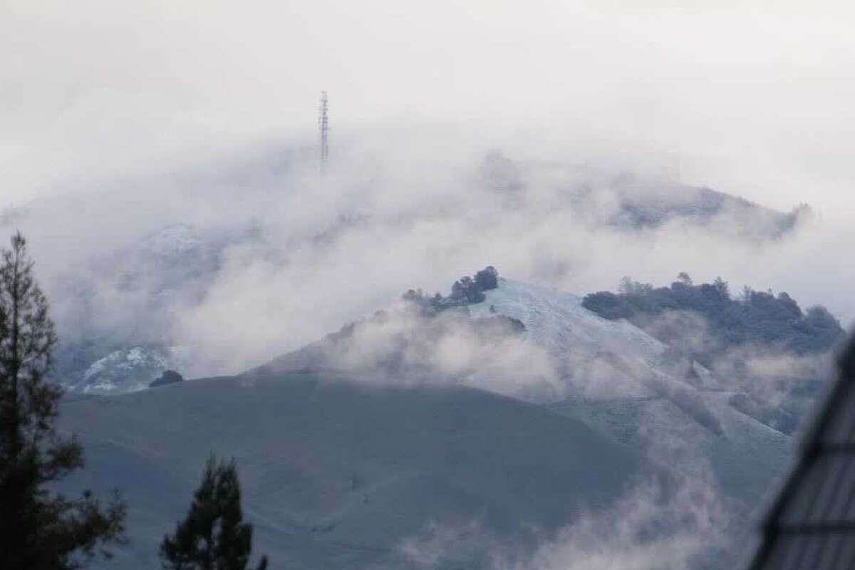
Ryan Fitzsimons photographed the coating of snow covering the peak of Mount Diablo on Tuesday morning, Dec. 14, 2021.
Instagram / @fitzsimonsphotographySanta and his elves delivered the gift of rain to the San Francisco Bay Area on Saturday — and it's a gift that is going to keep on giving, with more precipitation on the way through the end of the year.
A rainy, cold, unsettled weather pattern is expected through the holiday weekend and into next week, with thunderstorms, hail, and low-elevation snow all in the mix, the National Weather Service said.
A frontal boundary pushed across the region on Christmas Day, delivering periods of heavy rain and some nuisance flooding on roadways.
"We had one lightning strike up in Santa Rosa in Sonoma County," said Cindy Palmer, a meteorologist with the weather service. "We've had quite a few strikes off the coast. There is the potential for small hail with these thunderstorms, and heavier showers as well."
Forecasters are closely watching rainfall rates over wildfire burn scars such as the CZU Lightning Complex burn scar in San Mateo and Santa Cruz counties. "Thankfully, nothing has reached the threshold for debris flows so far," Palmer said.
A blast of cold air will push into the region Monday and Tuesday, and low-elevation snow is possible, mainly above 1,500 feet but the fresh powder could fall in the North Bay and East Bay valleys.
"We're going to stay pretty showery behind this Christmas system," said Palmer. "We get a bit of a break late evening tonight and Sunday morning, and then Sunday afternoon and evening the next wave comes, more rain. This system that's coming in [Sunday] evening and into Monday is going to bring significantly colder air with it, so we could see a dusting of snow on our higher elevations. I know I've seen a little talk of low-elevation snow in the North Bay. I think it will be a question of will the moisture still be there by the time the cold air arrives."
Wet weather remains in the forecast through Wednesday. Conditions may finally dry Thursday, Friday and Saturday of next week, but another storm is in the forecast just after the new year.


No comments:
Post a Comment