Seattle, WA
Saturday 4:00 PM
Mostly Cloudy

0%
0%
3%
4%
4%
15%
15%
24%
72%
72%
35%
30%
10%
21%
44%
72%
81%
54%
61%
81%
45%
74%
82%
50%
36%
60%
38%
24%
11%
10%
7%
7%
7%
7%
8%
9%
15%
16%
18%
35%
45%
44%
36%
35%
37%
34%
16%
33%
41%
48%
45%
49%
47%
39%
34%
36%
40%
42%
45%
39%
39%
38%
21%
18%
18%
18%
20%
20%
9%
10%
33%
19%
20%
19%
6%
6%
10%
8%
8%
8%
10%
12%
13%
10%
36%
36%
39%
39%
40%
43%
33%
33%
24%
22%
19%
19%
18%
19%
36%
35%
10%
8%
23%
8%
6%
8%
9%
8%
11%
9%
33%
33%
34%
36%
36%


| More on weather.com |


Videos


Web results
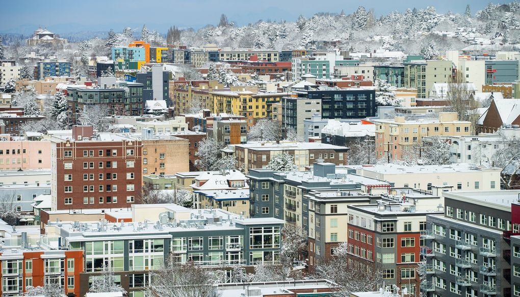
7 hours ago - Seattle-Tacoma International Airport had 6.4 inches of snow Friday, according to the National Weather Service. It's the second most snow recorded in the area in a day for the past 20 years, and more is still to come. Hershel Odle fishes from a pier during a snowstorm Friday in Seattle.
begin quote from:
6 hours ago - Residents around the region awoke to snow-covered streets and roofs Saturday morning after a rare, heavy winter storm blanketed Western ...
3 hours ago - A rare confluence of winter storms slammed Seattle with as much snow in one day as it usually gets in an entire year.
6 hours ago - A potent storm brought heavy snow to parts of the Pacific Northwest on Friday, including the lowland areas of the Seattle metropolitan area.
Record-setting snow: Just setting the table for what’s next in the Seattle area?


Residents around the region awoke to snow-covered streets and roofs Saturday morning after a rare, heavy winter storm blanketed Western Washington with snow that is, according to the experts at the National Weather Service, “quite fluffy by Seattle standards.”
And it’s not over yet.
Meteorologists at the National Weather Service in Seattle expect several more inches Sunday and say another storm is possible next week.
The 6.4 inches that fell Friday at Seattle-Tacoma International Airport set a new daily record for Feb. 8 and marked the second highest snowfall in a single day in the past 20 years, the National Weather Service said. (The top spot belongs to Jan. 18, 2012, when 6.8 inches fell at the airport.)
By about 9:45 a.m. Saturday, 7.9 inches had fallen at Sea-Tac, exceeding the region’s average annual snowfall by about an inch, said Jacob DeFlitch, meteorologist at the National Weather Service in Seattle.
Most areas of Seattle got about 4 inches, but northern parts of the city saw more. Meanwhile, Auburn and Olympia got around 10 inches and more than a foot of snow fell in Sequim.

Latest report of 7.9" of snow at Sea-Tac! Here's a list of updated approximate amounts across the area: wrh.noaa.gov/total_forecast… Thanks for all of your snow reports! #WAwx

Snowfall began to taper off throughout much of the region Saturday morning, after a night that saw scattered power outages, and a concentration of outages on Vashon Island, according to Puget Sound Energy.
Strong winds have continued to cause outages throughout Thurston, Kitsap and Whatcom Counties as well as Vashon Island. About 48,700 Puget Sound Energy customers were without power as of about 2 p.m.
In Seattle, more than 7,000 people lost power in Saturday afternoon, with outages concentrated in Rainier Valley and near Highline. By about 2:40 p.m., power had been restored to all but about 840 customers, according to Seattle City Light.
If you lose power, remember not to burn charcoal or use gasoline generators inside, including in the garage, and never use a gas oven to heat your home. If you see a downed power line, stay at least 20 feet away and call 911 if it appears to be sparking or smoking. In Seattle, report downed lines to 206-684-3000.
Saturday afternoon, Gov. Jay Inslee expanded a state of emergency he declared Friday to exempt more delivery drivers from certain limits on the number of hours they can be on the road.
Inslee previously exempted commercial drivers collecting and delivering bulk milk products and de-icing salt. He expanded that to also include commercial drivers collecting and delivering essential food and emergency supplies to grocery stores and drivers delivering bulk propane fuel supplies.
A high wind warning is in effect until 4 a.m. Sunday for areas of San Juan, Whatcom and Skagit counties, where winds of 30 to 40 miles an hour and gusts of up to 60 miles an hour are expected, according to the National Weather Service.
As skiers took to Queen Anne Hill and sledding parties broke out on neighborhood hills around the region, officials were advising drivers to stay off the roads. Plows were making progress on highways and arterials. But side streets were another story.
The city’s Department of Transportation has urged people to avoid playing in snowy streets — no matter how tempting it may be.
If you need to travel by bus Saturday, remember King County Metro is operating emergency snow service, meaning only 60 low-slope routes are in service until further notice. Some routes also be operating on snow routes. See which routes are operating by using the map here or text the number of your bus stop or shelter to 62550 for updates on the next bus.
Sound Transit is running most of its ST Express service on snow routes, and Link light rail is running on its normal schedule. Sounder commuter train service is currently expected to resume service Monday.
The snow has caused ongoing issues at Sea-Tac, where 147 flights are delayed Saturday and 192 are canceled, according to Flight Aware. Alaska Airlines, which pre-canceled some flights Friday, said it would allow customers to change their flights through Sunday. Interstate 90 at Snoqualmie Pass is open in both directions, but chains are required on vehicles without all-wheel drive.
Seattle will stay mostly dry and cold through Saturday afternoon, DeFlitch said. Temperatures will drop to around 17 degrees overnight, creating the possibility of black ice.
“We’re going to finally have a brief dry period,” DeFlitch said, “but it’s not going to last.”
On Sunday, temperatures will hover around freezing and snow could return by afternoon or evening. One to three inches is expected in the Seattle area Sunday night into Monday.
Monday evening and Tuesday show the possibility of another heavy snowfall, but details are uncertain at this point, DeFlitch said.
“This pattern really is not going to change over one or two weeks,” DeFlitch said. “It will continue to be colder than average and there are chances for additional snow.”
The last time a storm dropped this amount of snow was in 2012, DeFlitch said. (That year, the L.A. Times labeled us “snow wimps.”)

Seattleites braced for the unusual storm Friday, emptying grocery store shelves and fleeing downtown well before the usual rush hour.
Local officials urged people to avoid traveling when possible and look out for each other. A 59-year-old man who may have been homeless was found dead from exposure Thursday at the Sodo light-rail station. Emergency shelters have worked to make room for people, and city officials urge you to call 211 if you see someone in need of shelter.
In Seattle Saturday, 34 vehicles are plowing, salting and de-icing roads and 14 hand crews are addressing sidewalks in the center city, according to Mayor Jenny Durkan’s office. The highest priority arterials are in “fair to good condition with mostly slushy pavement conditions,” Durkan’s office said in a statement.
Crews will focus on maintaining bare and wet conditions throughout the afternoon, the city said. Streets are prioritized based on use and proximity to emergency services. See which streets have been plowed and treated using this map.
Garbage, recycling and yard-waste collection is canceled Saturday and the North Transfer Station is closed. All Seattle public libraries and preschools are closed Saturday, as is the Seattle Center Monorail and Museum of Popular Culture (MoPOP). Find a list of canceled events here.
Seattle parks are open, but the city urged caution particularly around tree branches, which can be snapped by snow and ice. Recreation and aquatics programs are canceled.
Community centers in Loyal Heights, Magnolia, Green Lake, Bitter Lake, Montlake, Northgate, Meadowbrook, Van Asselt, Rainier Beach and High Point are open from 11 a.m. to 3 p.m. for drop-in use.
The Garfield Community Center has been opened as a warming center and overnight shelter. Adults, families with children and people living in vehicles are welcome. The center will operate 24 hours a day through Monday morning.
On Friday night, 11 people stayed at the Garfield Community Center and 18 people living unsheltered were transported to shelter, according to the mayor’s office.
No comments:
Post a Comment