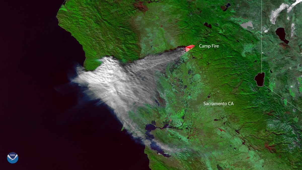
Satellite footage shows smoke and hot spots from the Camp Fire on Friday. Strong winds pushed smoke over the Sacramento Valley, causing air quality to diminish.
The #CampFire, seen here by #NOAA-20 on Nov. 8, now covers about 70,000 acres and is only 5 percent contained, according to @CAL_FIRE. More: go.usa.gov/xPvhf
partial quote of pictures from: https://www.sacbee.com/news/state/california/fires/article221483520.html


No comments:
Post a Comment